

Demarcation of Ganga River Floodplain Zone in UP | NGT Report 2026
Why in News?
The Uttar Pradesh government completed the physical demarcation of the 700-kilometre Ganga River floodplain zone. The demarcation stretches across 13 districts from Unnao to Ballia.
Authorities installed 7,350 boundary pillars on the ground to identify the river corridor. The state government submitted this compliance status before the National Green Tribunal (NGT) in August 2026.
What is a River Floodplain Zone?
A river floodplain zone is the low-lying land adjacent to a river channel. This area naturally receives excess floodwaters during high-discharge monsoon periods.
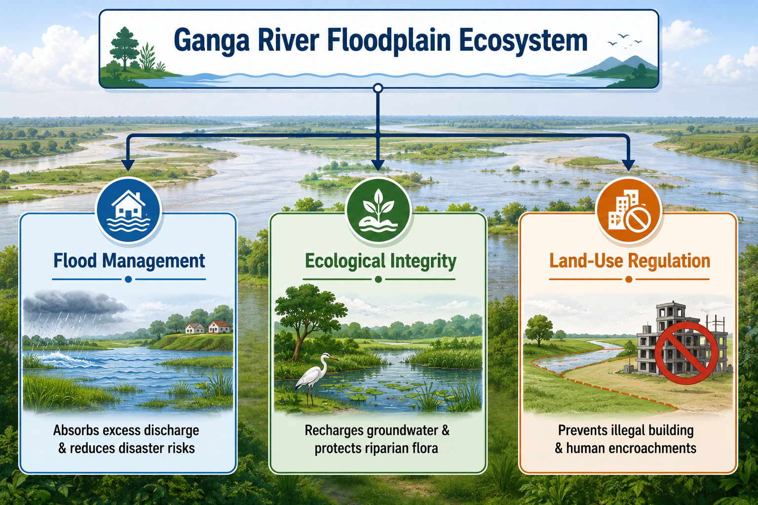
Key Functions of Floodplains
- Flood Attenuation: Floodplains absorb surging runoff and reduce downstream peak flows.
- Groundwater Recharge: Water seepage across floodplains replenishes regional aquifers.
- Ecological Buffer: The riparian zone filters sediments and supports biodiversity.
- Disaster Mitigation: Clear zoning keeps settlements away from high-risk flood paths.
Proceedings at the National Green Tribunal (NGT)
The National Green Tribunal reviewed the state’s progress through a dedicated principal bench.
- The NGT Bench: Chairperson Justice Prakash Shrivastava and expert member Afroz Ahmad examined the compliance affidavit.
- State Representation: The Chief Engineer of the Uttar Pradesh Irrigation and Water Resource Department filed the official status report.
- Statutory Role: The NGT functions as a specialized judicial body under the National Green Tribunal Act, 2010 to resolve environmental disputes.
Delineation Status Across Major Ganga Tributaries
Uttar Pradesh has extended the floodplain mapping initiative to multiple major and minor river systems.
| River Status | River Names | Administrative Purpose |
| Demarcation Completed | Yamuna, Ramganga, Betwa, Suvav, Tedhi, Budhi Ganga, Solani, Khokhri | Identifies boundary lines and prevents riverbed construction. |
| Demarcation in Progress | Kali, Varuna, Hindon, Pandu, Noon | Establishes geospatial and physical ground demarcation. |
Importance of Physical Demarcation and Boundary Pillars
Physical marking with geo-tagged pillars serves critical regulatory functions:
- Encroachment Detection: Concrete pillars establish unambiguous boundaries on the ground.
- Local Administration Monitoring: District magistrates can easily spot unauthorized construction in protected river zones.
- Urban Development Control: Civic bodies can enforce strict river conservation zoning laws.
- Legal Enforcement: Demarcated zones provide admissible evidence during legal hearings on environmental violations.
Ganga Floodplain Demarcation: Exam-Oriented Facts for Competitive Exams
- Project Scope: Demarcation of the Ganga River floodplain zone over a 700 km stretch.
- Districts Covered: 13 districts in Uttar Pradesh (extending from Unnao to Ballia).
- Demarcation Markers: 7,350 physical boundary pillars installed.
- Judicial Body Involved: National Green Tribunal (NGT).
- Statutory Origin of NGT: National Green Tribunal Act, 2010.
- Key Officials on the NGT Bench: Chairperson Justice Prakash Shrivastava and Expert Member Afroz Ahmad.
- Nodal Department: Uttar Pradesh Irrigation and Water Resource Department.
- Tributaries with Completed Demarcation: Yamuna, Ramganga, Betwa, Suvav, Tedhi, Budhi Ganga, Solani, and Khokhri.
- Tributaries with Ongoing Demarcation: Kali, Varuna, Hindon, Pandu, and Noon.
- Geographical Significance: The Ganga is a vital perennial river system of the Indo-Gangetic Plain.
